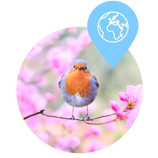
Servizo de digitalización de información relativa al anillamiento científico de aves
Cliente: Consellería de Medio Ambiente, Territorio e Vivenda, Xunta de Galicia
Fechas de ejecución: Septiembre 2023 – Actualidad

Cliente: Consellería de Medio Ambiente, Territorio e Vivenda, Xunta de Galicia
Fechas de ejecución: Septiembre 2023 – Actualidad

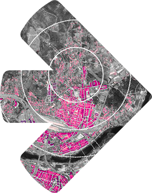
Cliente: Consell de Mallorca
Fechas de ejecución: Junio 2023 – Septiembre 2023

Cliente: Diputación de Barcelona
Fechas de ejecución: Marzo 2023 – Agosto 2023
Cliente: Espina y Delfín SL
Fechas de ejecución: Febrero 2023 – Agosto 2023

Cliente: Consellería de Medio Ambiente, Territorio e Vivenda, Xunta de Galicia
Fechas de ejecución: Octubre 2022 – Agosto 2023

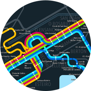
Cliente: Axencia para a Modernización Tecnolóxica de Galicia (AMTEGA), Xunta de Galicia
Fechas de ejecución: Octubre 2022 – Actualidad
Cliente: Consellería de Medio Ambiente, Territorio e Vivenda, Xunta de Galicia
Fechas de ejecución: Septiembre 2023 – Actualidad

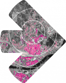
Cliente: Consell de Mallorca
Fechas de ejecución: Junio 2023 – Septiembre 2023

Cliente: Diputación de Barcelona
Fechas de ejecución: Marzo 2023 – Agosto 2023

Cliente: Espina y Delfín SL
Fechas de ejecución: Febrero 2023 – Agosto 2023

Cliente: Consellería de Medio Ambiente, Territorio e Vivenda, Xunta de Galicia
Fechas de ejecución: Octubre 2022 – Agosto 2023

Cliente: Axencia para a Modernización Tecnolóxica de Galicia (AMTEGA), Xunta de Galicia
Fechas de ejecución: Octubre 2022 – Actualidad