
SIG Web para la consulta y gestión del Plan de Saneamiento de Capama
Cliente: Proyfe S.L. (Municipio de Acapulco, México)
Fechas de ejecución: Abril 2016 – Noviembre 2016

Cliente: Proyfe S.L. (Municipio de Acapulco, México)
Fechas de ejecución: Abril 2016 – Noviembre 2016

Cliente: Concello de Xove
Fechas de ejecución: Noviembre 2015 – Junio 2016

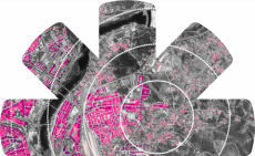
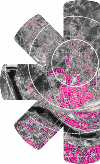
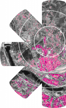
Cliente: Mancomunidade de Concellos de Ferrolterra
Fechas de ejecución: Octubre 2015 – Diciembre 2015

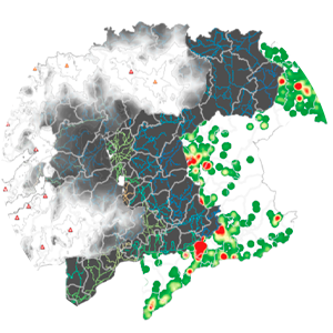
Cliente: Concello de Abegondo
Fechas de ejecución: Octubre 2015 – Diciembre 2015

Cliente: Concello de Ribadeo
Fechas de ejecución: Junio 2015 – Noviembre 2015

Cliente: Consorci d’Informática Local de Mallorca
Fechas de ejecución: Enero 2015 – Actualidad
Cliente: Proyfe S.L. (Municipio de Acapulco, México)
Fechas de ejecución: Abril 2016 – Noviembre 2016
Cliente: Concello de Xove
Fechas de ejecución: Noviembre 2015 – Junio 2016
Cliente: Mancomunidade de Concellos de Ferrolterra
Fechas de ejecución: Octubre 2015 – Diciembre 2015
Cliente: Concello de Abegondo
Fechas de ejecución: Octubre 2015 – Diciembre 2015
Cliente: Concello de Ribadeo
Fechas de ejecución: Junio 2015 – Noviembre 2015
Cliente: Consorci d’Informática Local de Mallorca
Fechas de ejecución: Enero 2015 – Actualidad